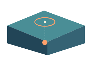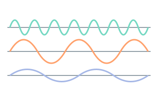
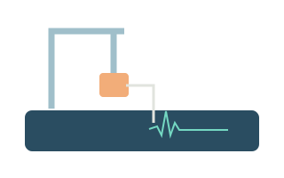
A map covered in markers can feel like a live broadcast of the Earth. It actually sits at the end of a chain: stations detect signals, networks analyse records, a source publishes a solution, and the app downloads and filters it. Understanding that chain helps explain a new marker, a changing number or an unexpectedly empty screen.
Start with the source and the time window
The app uses the USGS catalogue for the past 24 hours. This is a rolling window, not a complete earthquake history. Once an event becomes older than a day, it can leave the current selection without its existence being questioned. Use a separate official catalogue for historical searches rather than trying to reconstruct the past from today's markers.
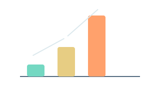
USGS receives information from multiple networks. Their ability to detect small events varies by region; a local network may record something that is not yet in the shared feed. Marker density therefore reflects both seismic activity and available observations. An empty region is not automatically free of seismic hazard, and one day's event count is not a ready-made ranking of countries.
An event and a download run on different clocks
The event time refers to when the earthquake started. A record's update time tells you when the source changed its information. The last successful download time belongs to the app. These can differ substantially. USGS documents minute-by-minute updates to its daily feeds, but that does not guarantee a new earthquake on your screen within one minute.
For example, an event at 10:00 might be revised at 10:12 and downloaded by a phone at 10:15. Sorting by event time still places it at 10:00. When comparing a screenshot, also check UTC versus device time: around midnight, the same instant can fall on different calendar dates in different time zones.
A revised estimate is not necessarily another earthquake
An automatic status indicates an automated solution; reviewed indicates examination by an analyst. Reviewed records can still change later. ComCat combines products from different contributors within one event, and new versions can supersede earlier estimates. The event identifier helps distinguish a revised card from a separate earthquake.
Automatic processing occasionally makes mistakes, and an event may later be removed or reclassified. USGS publishes explanations of such cases. A missing marker could also have left the time window or fallen outside your filters. Disappearance alone is not evidence of concealed information. Start by checking the official event page and the current selection.
Filters change the question your map answers
A magnitude filter selects events by size, a depth filter selects a range of estimated depths, and a radius depends on its chosen centre. Combined settings can remove every marker. If an expected event is missing, temporarily broaden the filters, check the selected region and compare the list with the map. Several events may also be grouped together at a small map scale.
A missing value is not zero. If the source supplies no magnitude or felt measure, that is a gap in the data. A felt-report count of zero does not establish zero shaking in every community. Filters make available records easier to explore; they cannot make incomplete observations describe everything that happened.
A cache supports browsing; freshness provides context
The app stores its cache, favourites and manually selected regions locally. Its built-in atlas helps with orientation when a connection is unavailable, but the atlas does not download new events. Check the freshness indicator and refresh result before interpreting the map. Markers visible after disconnecting show saved information rather than continued access to the catalogue.
An earthquake feed is an information tool. A tsunami-related field, or the absence of one, cannot replace an official bulletin for your coast. Use local services and natural warning signs for urgent action. At other times, the map offers a useful way to explore events and understand the relationship between coordinates, depth and magnitude.
- Check the rolling 24-hour window and active filters.
- Distinguish event time, source update time and download time.
- Open the official report and check the freshness of locally saved data.
FAQ
Why did I feel shaking before a marker appeared?
Processing delays, coverage limits, filters or a failed download may explain it. Check the local official network and USGS. Protective action should not depend on a map marker appearing.
Can marker counts show where tomorrow will be more dangerous?
A daily selection depends on the time window, network sensitivity and filters. It cannot reliably predict a specific future earthquake or replace an official seismic hazard assessment.
Sources
- USGS — GeoJSON Summary Format
- USGS — How Products Work in ComCat
- USGS — Why Is an Earthquake Not on the Latest Earthquakes Map/List?
- USGS — Errata for Latest Earthquakes
- USGS — Volcano Watch: What's Shaking? Earthquake Alerts Explained
- USGS — Earthquake Notification Service Disclaimer
- NOAA/NWS — Understanding Tsunami Alerts
This is educational information. For emergency decisions, follow local authorities and official warnings.