 01 / FIELD NOTE
Beneath the surface
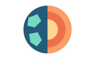
Explore the moving mantle, seismic waves and fault systems. Twenty topics help connect individual events to the bigger picture.
Earthquake maps, U.S. volcanoes and the science beneath your feet. One thoughtful place to make sense of a living world.
Free. No ads. No account. The web app is available in your browser.
 NATURAL EARTH · ILLUSTRATION
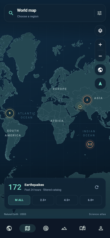
The USGS past-day catalog stays connected to its original source. Explore what was recorded without confusing observation with prediction.
 01 / FIELD NOTE
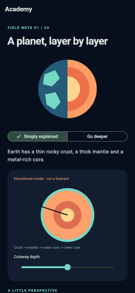
Explore the moving mantle, seismic waves and fault systems. Twenty topics help connect individual events to the bigger picture.
 02 / FIELD NOTE
A U.S. atlas with USGS metadata and the latest available notices. Dates and sources help explain what a record actually says.
 03 / FIELD NOTE
Read safety information and keep a family checklist in the app without a network connection. Make a plan before you need one.
Magnitude is logarithmic. Move the slider to compare amplitude ratios and an approximate energy ratio.
Magnitude and intensity, explainedAn educational comparison: 10^ΔM and ≈10^(1.5ΔM). This does not estimate shaking at a particular location.
Magnitude describes the size of an earthquake at its source. Intensity describes its effects at a particular location. Here is how to read both correctly.
Read the storyA map marker tells only part of the story. The focus is underground, the rupture covers an area, and distance from the epicentre alone cannot establish safety.
Read the storyAn earthquake map presents selected source records. Learn what the 24-hour window, revisions, filters and missing events mean before drawing conclusions.
Read the storyNo. The app displays earthquakes recorded by USGS. It does not predict earthquakes or provide earthquake early warning.
Bundled lessons, safety information and the checklist work without a connection. Downloaded catalog snapshots remain available and are marked stale when a source cannot be reached. New events, original reports and OSM street tiles need a connection.
No. Choose a city or enter coordinates manually. The app does not request GPS access.
English, Russian, Ukrainian, Spanish, German, French, Portuguese, Italian, Turkish, Indonesian, Japanese and Arabic. The interface, lessons and safety materials are translated.
Background push delivery is not connected in the current Android version. The in-app tsunami bulletin feed requires a configured server. Use official warning services and tsunami centers for warnings.
Explore the app in your browser.