USGS earthquake records
Browse the past 24 hours of recorded events. Read magnitude, depth and time, then open the original report. Source parameters may be revised.
Tools for exploring real events, connecting a catalog record with a clear scientific explanation.
Browse the past 24 hours of recorded events. Read magnitude, depth and time, then open the original report. Source parameters may be revised.
Use the bundled geographic atlas or an optional OpenStreetMap street layer. Zoom, explore marker groups and filter the event catalog.

170 entries with USGS metadata: names, regions, coordinates, elevations and the latest available notices with dates. This is not a worldwide eruption catalog.
Choose a built-in city or enter coordinates manually. Adjust a radius, save events and volcanoes, and keep your choices in app storage.
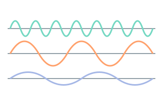
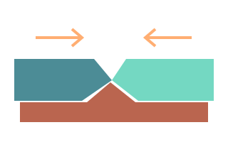
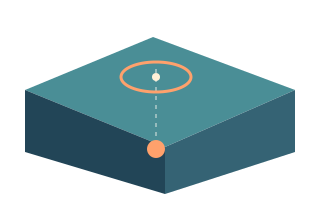
Simple and detailed explanations, original illustrations and short quizzes. Educational models explain principles; they do not calculate hazards.

Eight safety topics and a family checklist. Downloaded catalog snapshots are retained and their age remains visible when a connection is unavailable.
Explore the app in your browser.